Transforming Data to Information and Information to Decisions.

Beyond Spreadsheets: The Bigger Picture with Powerful Map-Based Data Insights

Powerful Map-Based Data Insights

Introduction:

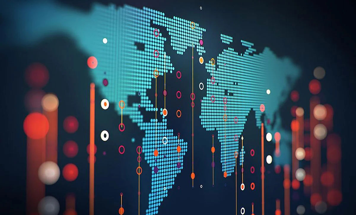
Geospatial visualization has emerged as a transformative tool for businesses in the modern data-centric landscape, providing unparalleled insights into sales trends, resource distribution, customer demographics, and much more. By integrating location-based data with business intelligence, companies can unlock a wealth of actionable insights, fostering growth and enhancing competitive edge. This blog delves into the multifaceted benefits of geospatial visualization, explores standard techniques employed in the field, and provides a practical guide to getting started, underscored by a compelling case study of Walmart's strategic use of this technology.

Geospatial visualization

The Strategic Edge of Geospatial Visualization

The adage "location, location, location" extends beyond real estate to influence every facet of business strategy. Here's how geospatial visualization propels businesses into a new era of informed decision-making and strategic planning:

Data visualization
  • Enhanced Decision-Making: Visualizing data in a geographical context reveals patterns and relationships that might go unnoticed in traditional spreadsheets, aiding in strategic decisions.
  • Optimized Resource Allocation: By mapping resources against demand in real-time, businesses can identify areas of need more accurately, ensuring efficient distribution of resources.
  • Targeted Marketing Campaigns: Understanding the geographic distribution of customer demographics allows for creating tailored marketing strategies that enhance customer engagement and conversion rates.
  • Boosted Sales Performance: Identifying regions with high sales potential enables companies to focus their efforts where they are most likely to yield results, optimizing sales strategies and increasing performance.
  • Reduced Operational Costs: Insights into logistical and distribution frameworks can streamline delivery routes, minimize delays, and reduce fuel consumption, substantially lowering operational costs.

Navigating the World of Map Visualization Techniques

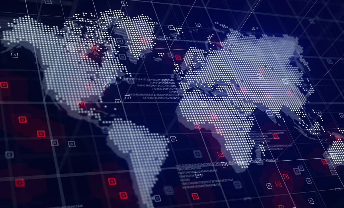
The choice of map visualization technique plays a pivotal role in the clarity and effectiveness of the insights gained. Common techniques include:

  • Point Maps: Ideal for visualizing the distribution and density of data points, offering a clear view of geographic patterns.
  • Choropleth Maps: These maps use color coding to represent different data values across regions, facilitating easy comparison and analysis.
  • Heat Maps: Employing color gradients, heat maps vividly highlight areas of high concentration, making it easy to identify hotspots.
  • Proportional Symbol Maps: These maps provide a straightforward visual representation of quantitative differences by varying the size of symbols according to data values.
  • Interactive Maps: Offering dynamic exploration, interactive maps allow users to engage with the data through filters and drill-down features, unlocking deeper insights.

Embarking on Your Geospatial Visualization Journey

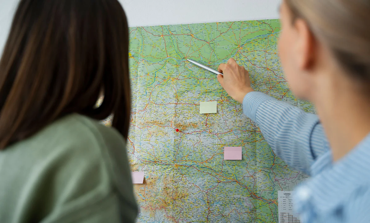
Implementing geospatial visualization within your business strategy begins with a few key steps:

Map Visualization Techniques
  • Identify Your Objectives: Clearly define what you aim to achieve or uncover through your data.
  • Select the Appropriate Map Type: Choose a map style that aligns with your data type and analysis goals.
  • Choose a User-Friendly Tool: Opt for a platform that balances functionality with ease of use, ensuring your team can effectively leverage its features.
  • Prioritize Clarity and Design: A well-designed map enhances comprehension and engagement, making it crucial to focus on visual appeal and clarity.
  • Share Your Insights: Effectively communicate your findings to stakeholders and decision-makers to inform strategy and action.

Illuminating Success: The Walmart Case Study

Walmart's strategic application of geospatial visualization underscores the transformative potential of this technology. With the challenge of optimizing store locations, Walmart leveraged interactive heat maps to overlay demographic data with existing store locations. This approach enabled them to identify prime locations for new stores based on population density, income levels, and shopping preferences. The result was a remarkable 10% increase in foot traffic and sales in strategically chosen locations, showcasing the power of data-driven decision-making.

Conclusion

Geospatial visualization offers a lens through which businesses can view their operations, markets, and opportunities with unprecedented clarity and insight. By harnessing the power of location-based data, companies can confidently navigate the complexities of today's business environment, making informed decisions that drive growth and success. Whether you're optimizing resource allocation, tailoring marketing efforts, or planning new locations, geospatial visualization is indispensable in the modern business toolkit. Explore the potential of geospatial visualization with MGA solutions and unlock new avenues for growth and efficiency.

Contact Us

We are always available.

;